Not sure if the 10.1km at Taman Botani Negara Shah Alam or Shah Alam Botanical Park (also known as Taman Pertanian Malaysia) was a hike or a walk. Basically, we walked on hilly tar road to Empangan Sg. Baru, then hiked on forest trails to Empangan Air Kuning. We were checking out the attractions along the way too so it was rather leisure.

RK and I just hiked Bukit Sapu Tangan located within Taman Botani Negara Shah Alam slightly more than a month back. Our friends didn’t go and so when they said they want to go, we thought we should go to the park again but to visit the canopy walkway while they hike Bukit Sapu Tangan; we started the day separately.
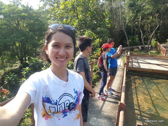
We were told at the entrance that the canopy walkway was only 500m walk away. It’s next to Taman Haiwan. We had a very slow walk to Taman Haiwan because I was constantly distracted by the cultural attractions within the park i.e. indigenious huts, Chinese gazebo, paddy field, etc.


Visiting the attractions reminded me of two things: (1) my photography workshop with Petronas when I was 12-year-old and (2) photos my late father took of me when I was very young.
Honestly, I didn’t pay attention when the lady at the entrance told us the direction to the canopy walk. I only remembered her saying “Taman Haiwan” so I walked straight in there without realizing that canopy walkway was opposite Taman Haiwan. It was a short walk away from Taman Haiwan, according to our friends who detoured there instead of hiking Bukit Sapu Tangan.

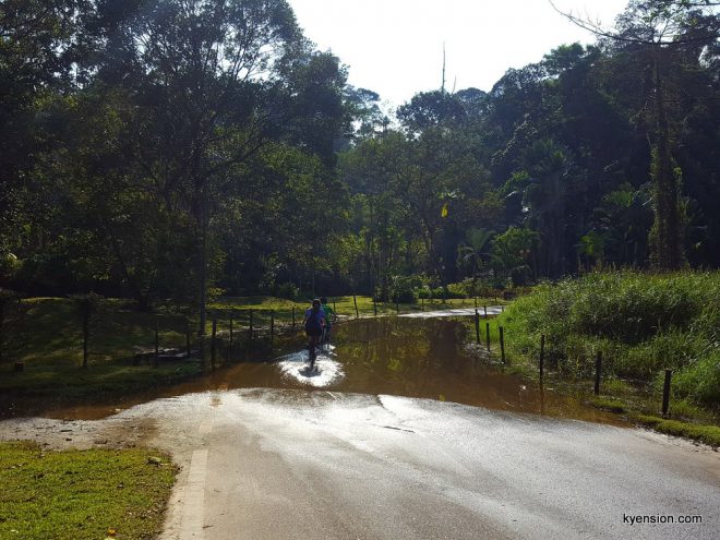
RK realized we missed the canopy walk but decided to keep walking anyway, thinking we’d come back for it on our way out. We kept walking up and down some hilly tar road until we reached the junction to Empangan Air Kuning.

The road to Empangan Air Kuning was a little steep, going downwards. Downhill, there was a serene lake where anglers could fish. The view was pretty spectacular! Loved the greenery and reflective water.


There was a signage indicating a trail to Empangan Sg. Baru but because it looked very quiet, RK advised against taking the trail. We headed back to the tar road and aimed for Empangan Sg. Baru from there.
We actually bumped into our friends (who were supposed to be hiking Bukit Sapu Tangan) strolling around in the park. They joined us on our walk to the dam located at the edge of Taman Botani Negara Shah Alam even though most people actually cycled there because it was quite a distance!


Meh… Empangan Sg. Baru seemed to be poorly maintained. We couldn’t access the decks around the retired water dam and the water was…green and brown. Not sure if it’s dirty or that’s how it’s supposed to be. The green was beautiful and mesmerizing but the brown looked disgusting.


We saw signage of trail that would lead us to Empangan Air Kuning and Bukit Sapu Tangan. Wanted to take that trail until we saw a sign indicating that we need to get permission to take the route. I guess you can take the route with a guide? There were educational jungle trekking services offered for at least RM35/pax at the entrance; maybe with that you can access that trail?
The trail looked very overgrown and quiet so we didn’t want to breach the notice too. Definitely didn’t want to get lost and get into trouble taking unauthorized trail, right?


We took on Jalan Berani instead because the trail looked a lot clearer and it seemed shorter too; we wanted to head back out via Empangan Air Kuning. It was a very easy trail to walk actually. Pretty flat all along the way with almost no obstacles…until we almost walked right into Empangan Air Kuning.
The trail ended at a bushy hillside. There was a super short and bushy trail on our right but it lead us right INTO the water dam. Nope. Not gonna do that.


We thought we had to walk all the way back out to the junction where we turned into Jalan Berani. Thankfully, our curiosity led us to discover a little trail across the stream. The crossing was located nearby a group of rocks under some shades towards the end of Jalan Berani. There was a laminated paper hung on a tree, marking a “Empangan Air Kuning-Air Terjun” route.

We didn’t spot the said waterfall but we managed to find our way around Empangan Air Kuning! And yes, we came out at the trail that RK and I avoided during our first stop at Empangan Air Kuning.


Our legs were aching by then and we were wandering around too long in the park so we headed straight out, skipping the canopy walk that I wanted to visit from the beginning…


Oh well. The park’s huge. If anyone wants me to go there again for fun, I would — just to do more sight seeing and discover more wonders about the park. I don’t mind going for a date there too if RK ever wants to bring me back to Taman Botani Shah Alam.
FYI, we paid RM3/car for parking and RM3/pax for ticket into Taman Botani Negara Shah Alam. Additional charges apply for visit to the Four Season House.

May i know what is the best time to go to taman botani shah alam which is not too hot but cool weather?
Hi Jojo! Early morning once the place is open will be good. For outdoor activity in Malaysia, the weather typically gets hot about 10am onward. The evening weather is not any better I feel. Plus, Taman Botani closes quite early in the evening.