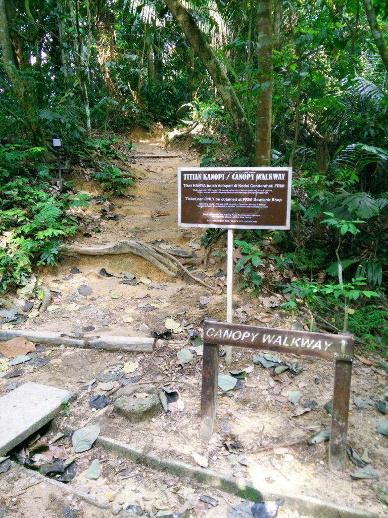
Not sure what happened but somehow I have been hiking more often since I started this blog and thus the frequency of hiking posts. About two weeks ago, I went hiking at FRIM Kepong (Forest Research Institute of Malaysia) with a few friends because we learned that there’s a Canopy Walkway.

You gotta buy tickets for the Canopy Walkway (RM6.30/adult) and oddly, the ticketing counter at the Souvenir Shop (or One Stop Center) only opens at 9.30am — expected it to open earlier because recreational activity like this should start early. And you can only get the ticket at the Souvenir Shop before you even start the Canopy Trail to reach the platform of the Canopy Walk. Which means that you’d have to start hiking after 9.30am only.
FRIM charges entrance fee. Not sure what’s the fee like but it’s very affordable. We paid under RM10 for 4 pax and 1 car. We parked our car where most people parked and started walking around to discover the place. That’s when we realized that we were stuck with no Canopy Walkway tickets to buy at 8.30am.
So many people took the Rover Track that leads to the Canopy Walkway so we decided to go for it first, hoping we can get tickets at the Base or the Platform.

The start of the Canopy Trail to the Base was pretty effortless. It did keep me panting from the long walk with slow elevation but it’s all good. This part of the trail had lots of tiny rocks so I wouldn’t suggest to go barefoot or with slippers.
Once we reached the Base, there was signage indicating route to Canopy Walkway. There was also signage to warn people not to go for the Canopy Walkway without ticket as the tickets are only sold at the Souvenir Shop. Thanks but no thanks. We went up the trail anyway.

This part of the trail was very different from pre-Base. Continuous significant elevation. Trail surrounded by trees. Lots of tree roots along the way. Some big rocks at random places. This reminded me of hiking at Ah Pek Hill but a lot less gruesome. Plus, I’ve learned to listen to and manage my body so I made effort to ensure I did not faint.. Haha

When we reached the Platform of the Canopy Walkway, there was a ranger taking care of the place. There are safety rules to follow in order to take the walkway but it didn’t matter to us because we didn’t have a ticket. The ranger advised us to book the tickets on FRIM’s website next time but I don’t see any link to book the tickets for under 10 pax. Hmm.


We took the same route back from the Canopy Walkway platform. Then we hiked toward the Pump House and later went downhill to the Picnic Area. This route was pretty interesting. The was a big water pipe that was at the center of this trail. We went through an almost undisturbed descent route. There was a stream flowing down next to the trail. A few groups of people were even seen picnicking by these shallow streams.

We didn’t stop by at the Picnic Area because other than me, the rest were not amused by the sandy shallow pond. Picnic Area aside, there were lots of giant leaves there. I thought they were so cool and interesting!

I really loved the beautiful greenery as we walked down that nature trail. It’s tiring but it was so pretty! Be warned that the weather can be very hot once you get away from the trees and shades. There were a lot of people running around for corporate team building. There were a lot of people renting bicycles there too. My advice? Go early. Because the cycling trail can get really hot.

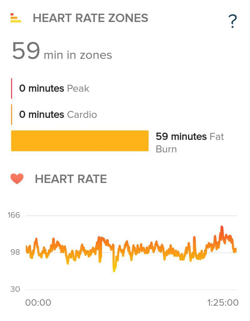
Continue scrolling to find out how little calories I burned. LOL. Seriously… One McChicken contains 370 calories. I burned 318 calories in my 1-hour-25-minute hiking. No wonder gym freaks control food intake.


It seems that the other trails could be interesting too so we shall return for the other trails.
Update: Since October 2015, the Rover Track has been closed for safety reason. Sadly, the trail has been vandalized. FRIM is taking this step to conserve the man-made forest as well.

what apps for the calories and steps took that you are using?
I think I was wearing fitbit that time so it should be fitbit app.
Hi there, would like to ask though. When y’all when for the hike did you have to hire a guide or the trail is pretty clearly mapped out? 🙂
Hi, the trail is clearly mapped out. It’s not an adventurous hike; jungle trekking would be a better representation. Btw, the trail we took is closed already but there are other trails to explore at FRIM. Hope this helps =)
What optimization you did to the photo? The site loaded so fast
I didn’t do any optimisation. Maybe it’s because the photos were taken and edited with phone?
maybe my 10mbps just fast enough.. lol