I wrote about hiking at Setia Alam Community Trail during my first hike there six months ago; took Route A up and Route B down. I actually commented that going up Route A was not physically challenging with my 4-month-old surgery wound. Today, I’m not sure if I’d say the same.
We woke up late and ended up hiking up at about the same time as my previous hike. Started at 8.30am but we were not alone even though there was definitely more people coming down than going up.
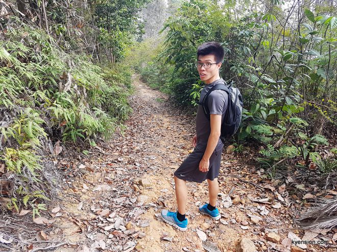
We went for Route A that ascended immediately at the grassy slope. The trail was muddy and slippery; my running shoes were definitely not the best footgear on this terrain.

I wore a cap because I didn’t want to be burned by the sun, hiking on unshaded land. While the cap protected me from the sun, it blocked my view too so I did not enjoy the view as much as I did the last round.
Anyway, not sure where we detoured but we trekked more unshaded path than we were supposed to. If my memory served me right, this detoured path was steeper too. We walked past some beautiful greens though, which I think is a great place for picnic and photoshoot. So scenic!

This is not the part where we got lost because we managed to find our way back on Route A and reached the first peak.

The hike from this sad-looking first peak was a little dreadful because of the heat and the fact that civilization is destroying this beautiful landscape we have here. From another perspective, some people call this The Canyons. That definitely made the place more exciting.


From here-on, we were on consistent ascend until we reached Peak Garden. I was panting so loud I wondered where I got my stamina from six months ago. It was quite a stretch so I wondered why I said it was OK six months ago. It’s not a killer. I just wondered how I did it midway through my chemotherapy course.


Anyway, I quickly learned after our rest that Route A ascend was easily overshadowed by what we encountered when we decided to take a different route down. I knew there were more routes and since we saw people going the other way, we thought we should explore too.
That marked the beginning of our memorable adventure getting lost at Setia Alam Community Trail. Haha.

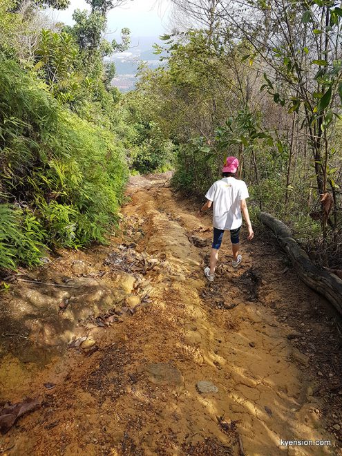
The descend was steep and long. Can’t help to stop once in a while for a few photos.


There was actually a group of hikers who left the peak shortly before us but we couldn’t catch up with them. We stumbled upon a few hikers going the opposite direction but the frequency dropped the longer we hiked aimlessly along the route. There were a few markings to the peak and for the cyclists but they weren’t very helpful in our situation. Too many junctions and I wondered how many wrong ones we took.
We trekked on trails less travelled where it kinda looked like there was a route but heavily covered by fallen leaves. Along those routes, there were so many mosquitoes right behind us that we just couldn’t afford to stop or slow down. At some point, we even started running a bit.
I believe we stumbled upon Rock Garden but with the swarm of mosquitoes that were still tailing us, plus the anxiety about getting lost on the hills, our priority was to find the fastest way out.
At every junction since, we whipped out our phones and only started to look at maps then. My MapMyWalk route was the most useful at this moment.
When we saw a motorbike riding into a junction in front of us, we kinda knew we’re near the exit already since there’s traces of human again. LOL.
But we took the wrong turn and ended up at quite a huge settlement of squatters! It looks like a legit village with barns for roasters even. Anyway, we asked the immigrants hanging out at their veranda for directions and – phew – we finally made it out the foliage…1.5km away from our car. Haha.


We could walk by the edge of the hills towards our car. Or along the foot of the hills. But we chose to just stay clear of routes less traveled and walked on tar road next to neighborhoods.


RK was so close to ordering an Uber xD
We clocked 7.21km of hike + walk in 2 hours 17 minutes, including our 10 minutes rest at the peak. Brought back lots of mosquitoe bites as well.


What an adventure. Let’s just stick to the popular Route A and B next time, if I can still convince RK to go back =P
